Wullie Davidson Bus Pass Rambles: Largs and Great Cumbrae
Weatherwise, I don’t think we’re in Scotland any more, Toto. More like Spain. Bad for farmers, though. I hope they don’t have to wait until the school holidays start to get their much needed rain. Great for bus rambling, though. Today’s trip would take me from Largs to Great Cumbrae, an 8 minute ferry crossing, to do a walk from Millport to the highest point of the island. It’s about 1.3 miles on a road, and a climb of 417 feet (127 metres). The views from there were the best I’ve yet seen, and I’ve seen a fair few, since starting the bus ramblings six years ago.
Ember Electric Bus – Fort William
Approaching Buchanan bus station, I noticed an unfamiliar bus leaving for Fort William, the Ember E5. It had hardly any passengers. Ember runs electric buses to places like Dundee, Edinburgh and Aberdeen. The Fort William bus had started just the day before, so it’ll maybe be some time before the traveling public get familiar with it. It leaves at 0800 and arrives in Fort William at 1115.
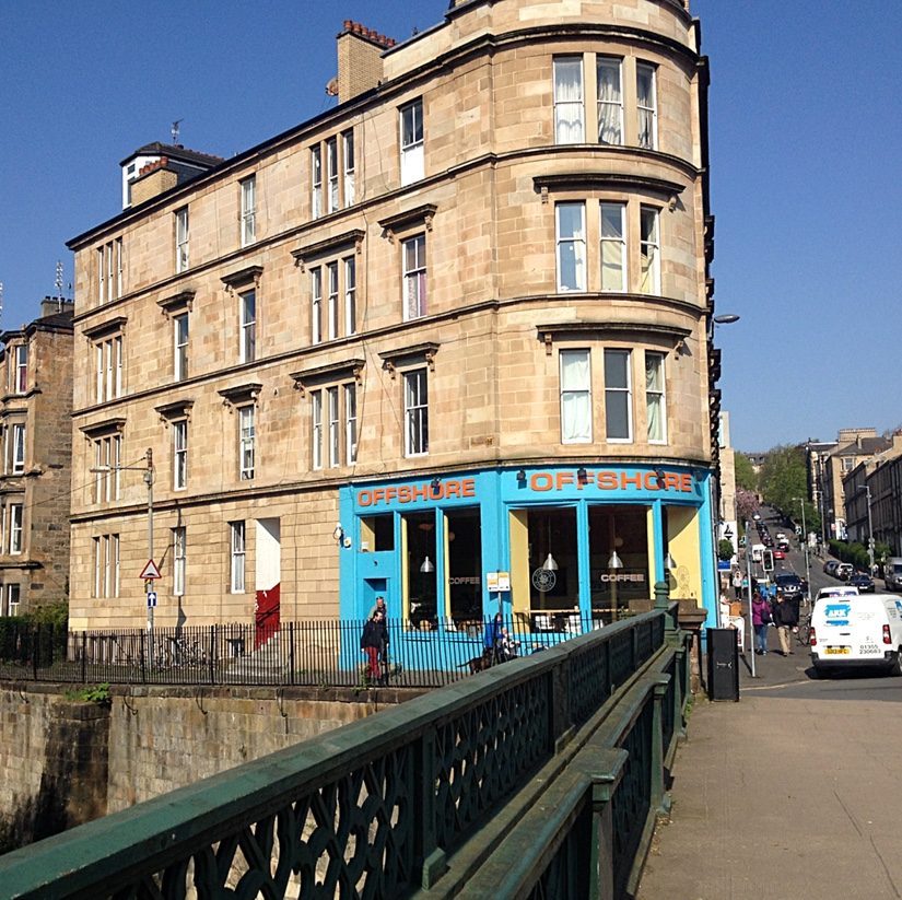
Largs
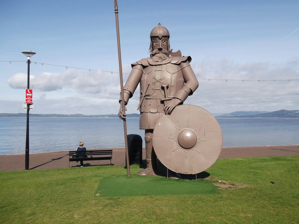
The 901/906 bus to Largs departs Buchanan bus station every half hour, and takes the scenic route through Greenock, then down the coast to Largs, taking about 1 hour 45 minutes. The last bus back to Glasgow from Largs departs at 1755. Currently, ferries depart every half hour, but in peak season every 15 minutes.
Great Cumbrae
Millport
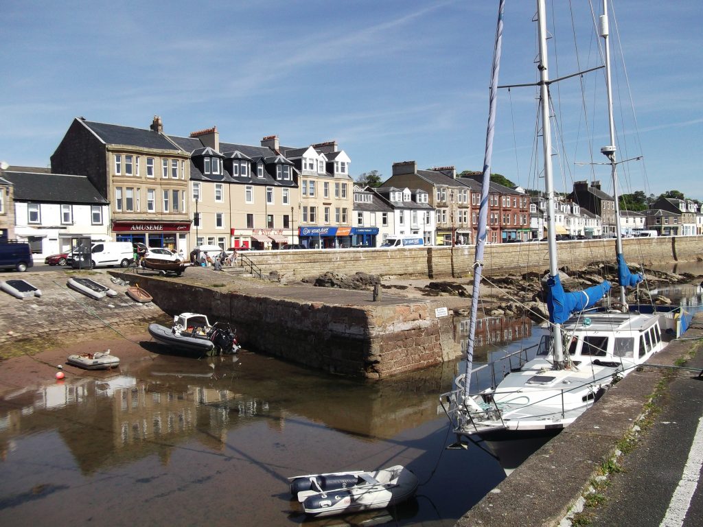
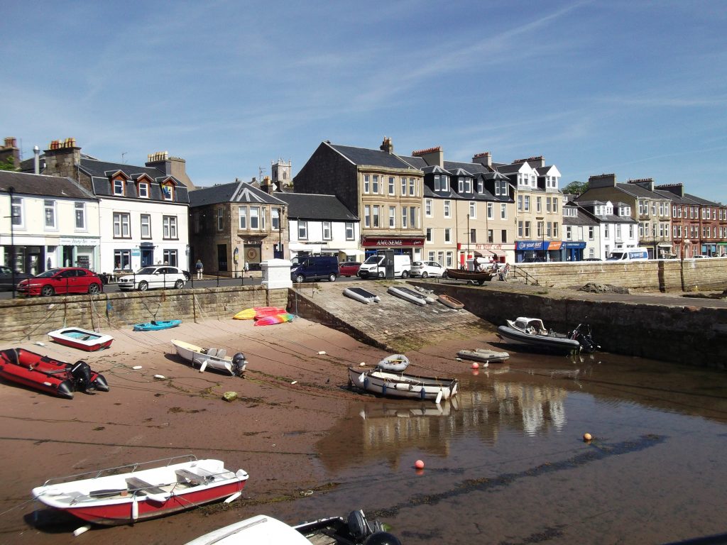
Great Cumbrae is often loosely referred to as ‘Millport’, which is the village straddling a bay on the south of the island. The ferry takes the shortest route across, an eight minute journey to the Cumbrae slip, from where foot passengers can get a bus which takes ten minutes to arrive in Millport. Cost of a return ferry ticket is £4.40.
Millport
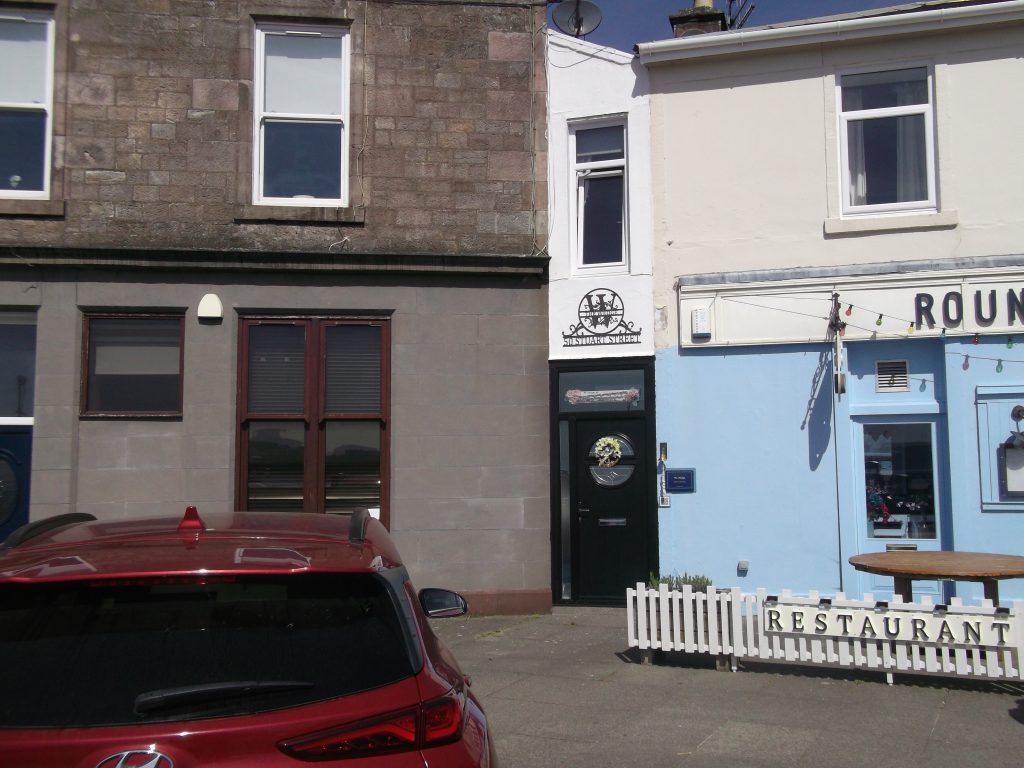
The World’s Narrowest House
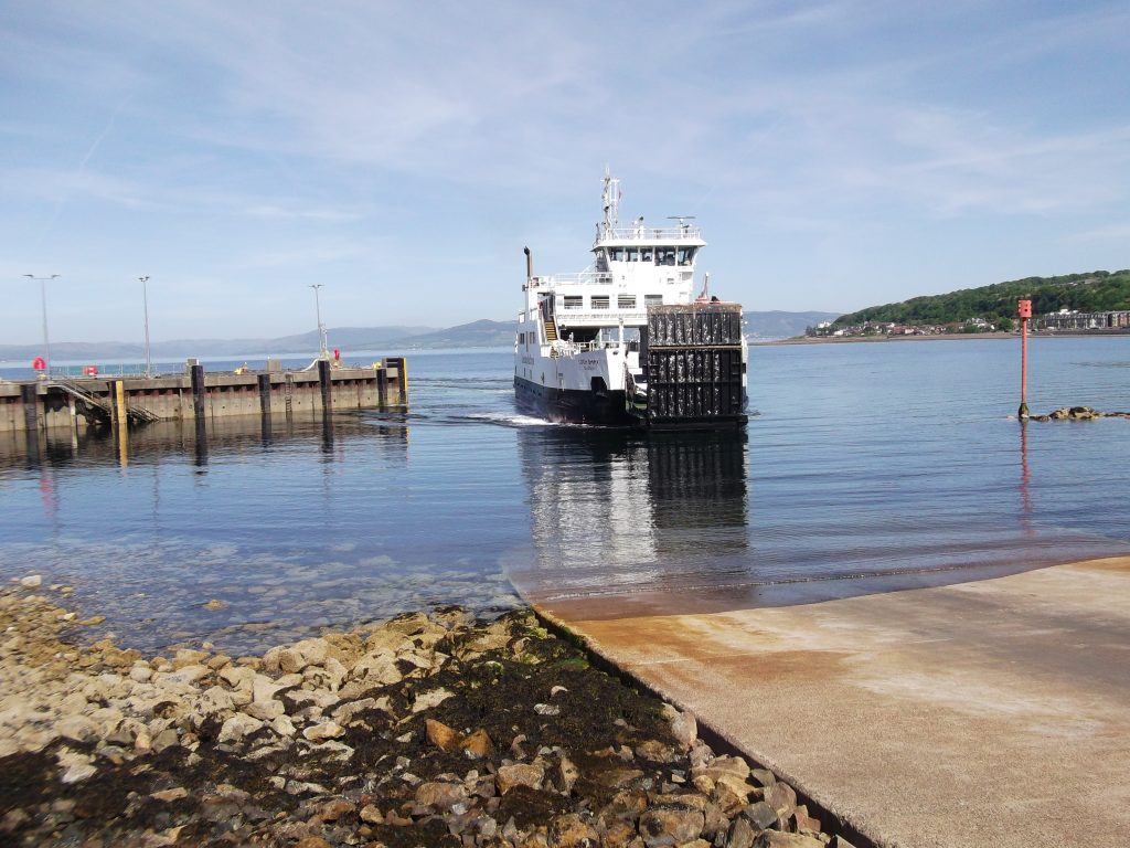
Millport Ferry
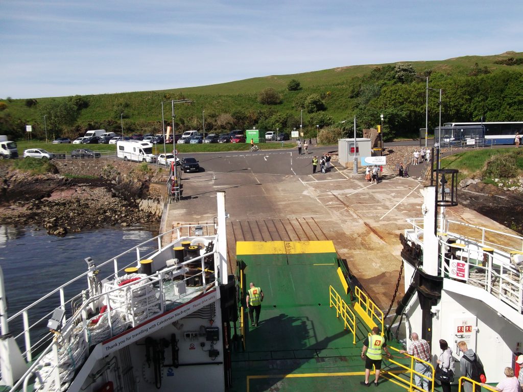
Cumbrae Slip
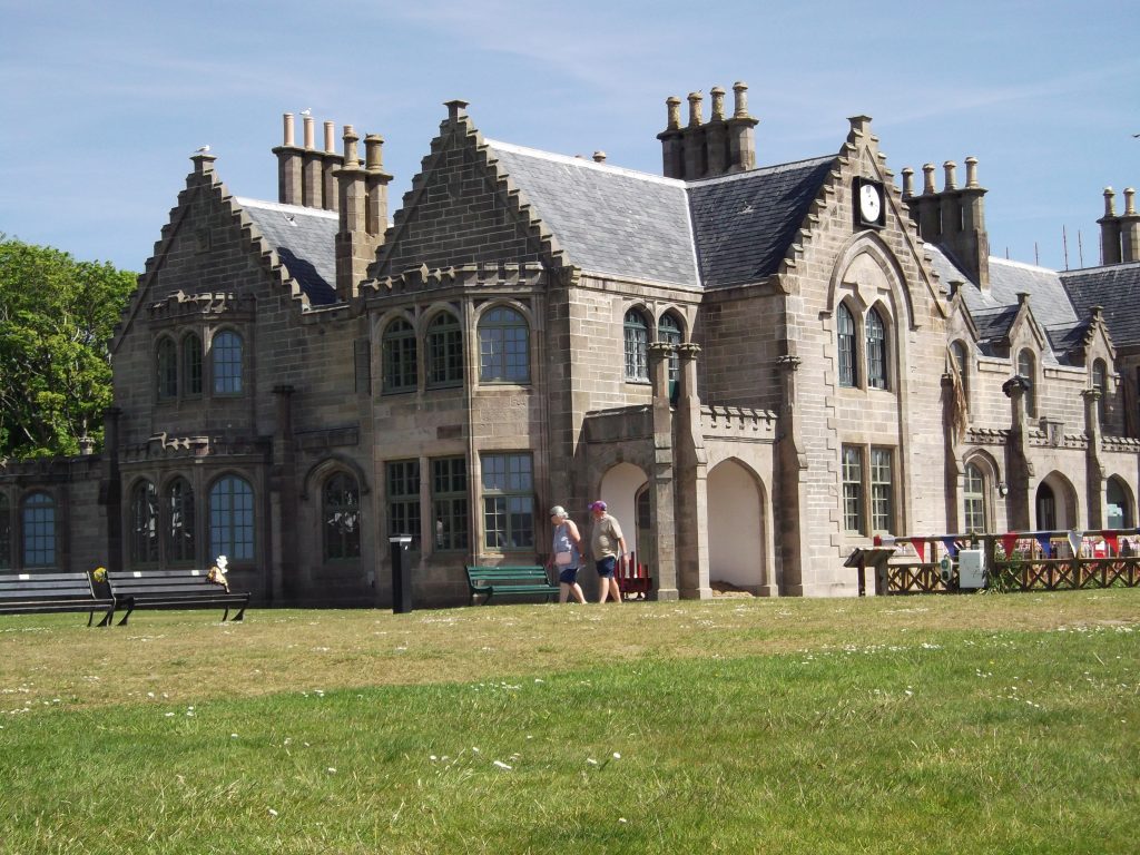
Garrison House
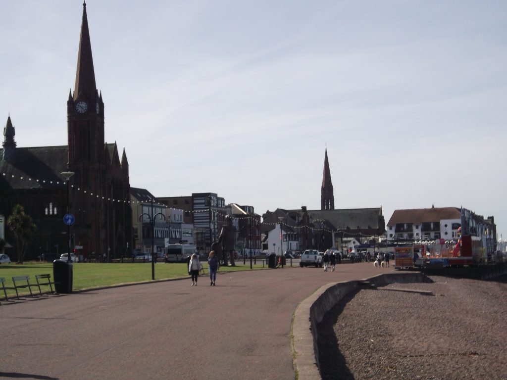
It was my first time in Millport, and there was a bit more to it than I’d expected. There’s a large building called Garrison House, which was built in 1745 to accommodate government revenue officers out to arrest smugglers who attempted to smuggle contraband into the Clyde. So much smuggling was going on that Millport owes its origins to the people involved in it. Got to be a film in that – Pirates of the Cumbraes. It’s currently used as a community hub, housing the Museum of the Cumbraes, a library, GP surgery, and local government offices, as well as a cafe, with lots of home made food. I intended visiting the museum, but there’s renovation work going on, and only the cafe was open to the public. So, I had a large cheeseburger and coffee for £8.70.
The Walk
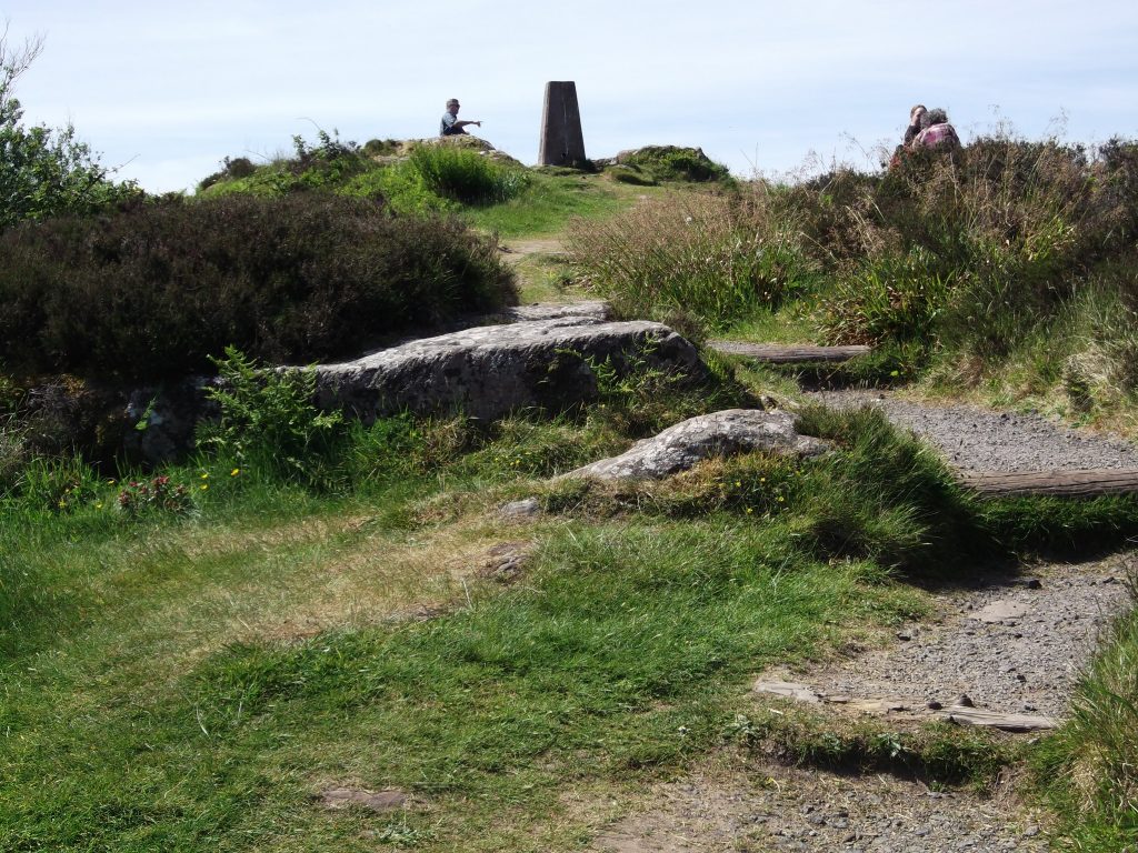
Approach to summit
The road up to the highest point begins as College Street, adjacent to the Garrison House grounds. The perimeter wall of the grounds is on the left as you walk up it. It’s pretty steep, as you’d expect with a 417 foot climb in 1.3 miles, but quite doable on a road. I struggled with the 5 mile Kilchattan Bay circular walk a few weeks ago, mainly because I’ve gained two stones in the past two years. I’ve decided to diet, and have already lost 6 lbs. At the top, there’s a trig point, a map describing the views, and a large boulder called the Glaid stone, deposited by glaciers during the last Ice Age. There are lots of cup marks on the stone, no doubt made by stone age people, although no one knows why they went to the trouble.
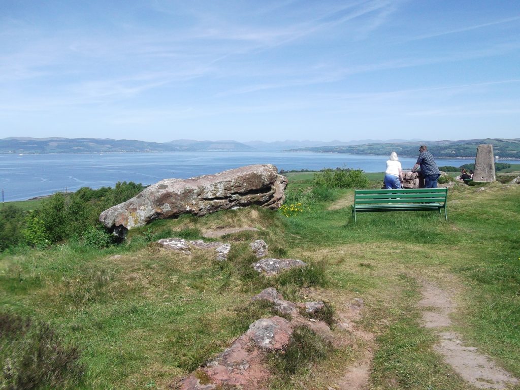
Glaid stone
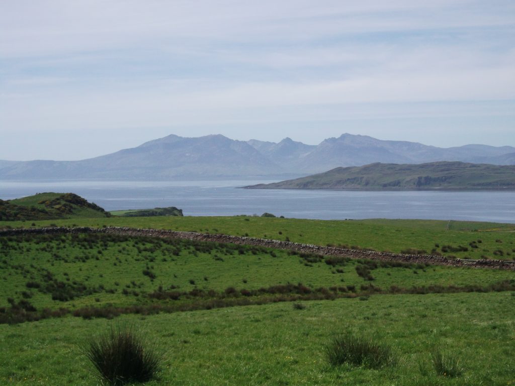
Bute and Arran
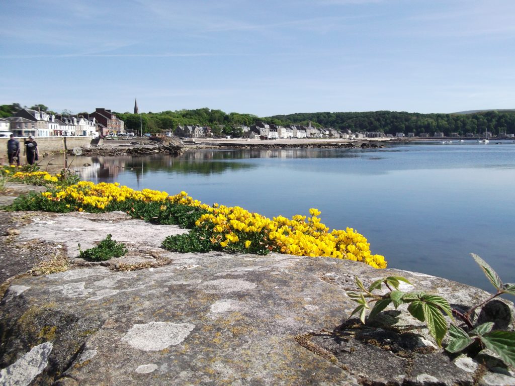
The views were fantastic, with southern Bute, the mountains of northern Arran, Knapdale, just north of the Mull of Kintyre and little Cumbrae all visible. I’d read that the Paps of Jura could also be seen, but there was a ‘blue haze’ in the air, probably due to vehicle air pollution being trapped under the still high pressure that’s currently causing the heat wave, and this prevented very distant viewing. I could even make out the tiny 28 foot lighthouse on the southernmost point of Bute, five miles distant, that I’d walked past on my last outing. However, there are some benches on the road verge just before the summit that offer an even more panoramic view, including Ailsa Craig, about 40 miles to the south. I could just make out its ghostly pyramid shape through the haze. Unfortunately, the camera can’t capture such a panoramic view. This turned out to be a far better day out than expected, and probably one I’ll be doing again.
Wullie Davidson, 15 May, 2025
This section: Pat's Home Page Blog, Travel, Wullie Davidson: Blogging about Bus Pass Jaunts in Scotland
Filed under: Pat's Home Page Blog, Travel, Wullie Davidson: Blogging about Bus Pass Jaunts in Scotland
Prevous page or post | Next page or post
Written by : Pat Byrne
Publisher of Pat's Guide to Glasgow West End; the community guide to the West End of Glasgow. Fiction and non-fiction writer.
Related Pages
- ‘Premature’: First clip released from brand new Scottish rom-com
- Glastonbury The Movie -30th Anniversary at GFT
- Maryhill Festival 2026
- Fiona Alderman: Fires, markets and the 14th July
- Ray Harris and Special Guests at Cottiers
- Spiral Scratch – Kevin Gilday New Material plus Open Mic
- Off the Beatson Track Fundraiser
- The Man Who Wasn’t There – 4K at GFT
- Bangla Mela, Celebrating Commonwealth Games 2026
- Overhaul Live in Store, LNFG
- All Elements Scottish Hip Hop Jam 2026
- Terry Neason Songs and Words, Òran Mór
- tell it slant at Locavore
- Commonwealth Community Festival
- Alasdair Gray Archive – Matthew Arthur Williams: Holding Ground
- Wullie Davidson Bus Pass Rambles: Walk to Steall Falls in Glen Nevis
- Going for Gold: Young Talent 2026 at ProjectAbility
- Arepas for Venezuela – Fundraiser
- Take 2: Muppet Treasure Island at GFT
- Wildlife Watch at The Saltings: An Introduction to Wildlife Recording